| Descriptive Attribute | Value(s) |
|---|---|
| Date | 2004-06-18 |
| Recorder | DKP |
| Start Time | 2014-04-02 |
| End Time | 2014-04-02 |
| Start Time (date) | 2004-06-18:09:50:00 |
| End Time (date) | 2004-06-18:10:00:00 |
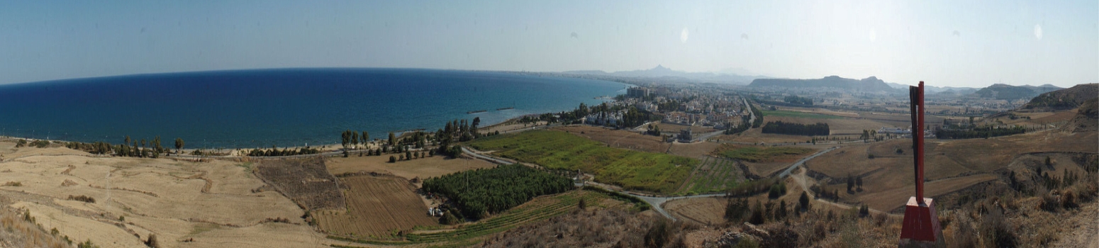
| Area or Toponym | Koutsopetria/Paleokastro |
| Location and Description | A fifth unit in grain stubble field; bordered on west by unit 4; on S. by low wall of rocks and building material; covered by weeds. Unit slopes down on west end then back up on east end toward REM building. |
| Evergreens | False |
| Decidiuous | False |
| Scrub or Phrygana | False |
| Maquis | False |
| Grass or Weeds | True |
| Barren | False |
| General Info Legal and Standard Other | False |
| Olives | False |
| Vineyard | False |
| Citrus | False |
| Apricot | False |
| Almonds | False |
| Other Orchard/grove | False |
| Vegetation, Small-leafed | False |
| Veg, Broad-leafed | False |
| Greens | False |
| Grain | False |
| Grain Stubble | True |
| Kalamboki | False |
| Other Vegetation | False |
| Dominant Vegetation Height | <= ankle |
| Percent Visible | 40 |
| Comments | Grain stubble w/ weed along S. end alongfg line of stones and weed over ruined building |
| Farm | Plowed |
| Soil | Compacted |
| Background Disturbance | Moderate |
| Sherd Crusting | Light |
| Surface Clast Size | Coarse Gravel (75-19mm) |
| Comments (field) | Building material forms some of surface clast FEATURES Aline of stone/rocks (1.5 m high) a building material on S. end. The remains of an ancient building form area (uncultivated) in E. end ; including in laid brick and laid mortar |
| Walker Spacing | 10 |
| Bearing | 86.0 |
| Direction From | South |
| Number of Bags | 2.0 |
| Survey Type | Standard |
| Digital | True |
| Color | False |
| Total object (count) | 291 |
| Sherds | 122 |
| Tiles | 136 |
| Lithics | 0 |
| Surveyunits Area Other | 33 |
| Ceramics | 258 |
| Ceramic density | 8062.5 |
| Area walked | 320.0 |
| Unit area | 1600.0 |
| Has note |
This records information collected by field teams for each survey given unit. This information includes the number of different artifact classes (pottery, tile, stone, other) counted in each fieldwalker's transects, which provides the total count and density for the unit. It also includes environmental features of the unit (vegetation, soil, etc.) and the logistics of collection (date, time, location, etc.). We recorded the information on paper forms in the field at the time of survey and subsequently keyed the data into a Microsoft Access database, which we linked to a GIS plot of the survey units. We scanned the paper forms and archived a copy of the physical forms at the University of North Dakota. |
Suggested Citation
David K. Pettegrew. (2013) "Unit 5 from Europe/Cyprus/PKAP Survey Area/Koutsopetria - Paleokastro". In Pyla-Koutsopetria Archaeological Project I: Pedestrian Survey. David K. Pettegrew, William R. Caraher, R. Scott Moore (Ed). Released: 2013-10-25. Open Context. <https://opencontext.org/subjects/dad5462c-3440-4dac-e4be-dd5aedc1b4dc>
Editorial Status
●●●○○Part of Project
Copyright License
To the extent to which copyright applies, this content
carries the above license. Follow the link to understand specific permissions
and requirements.
Required Attribution: Citation and reference of URIs (hyperlinks)
