| Descriptive Attribute | Value(s) |
|---|---|
| Location Code | 20 |
| Site Category | Polis |
| Cultural Type | Unknown |
| Tomb Type | 2 |
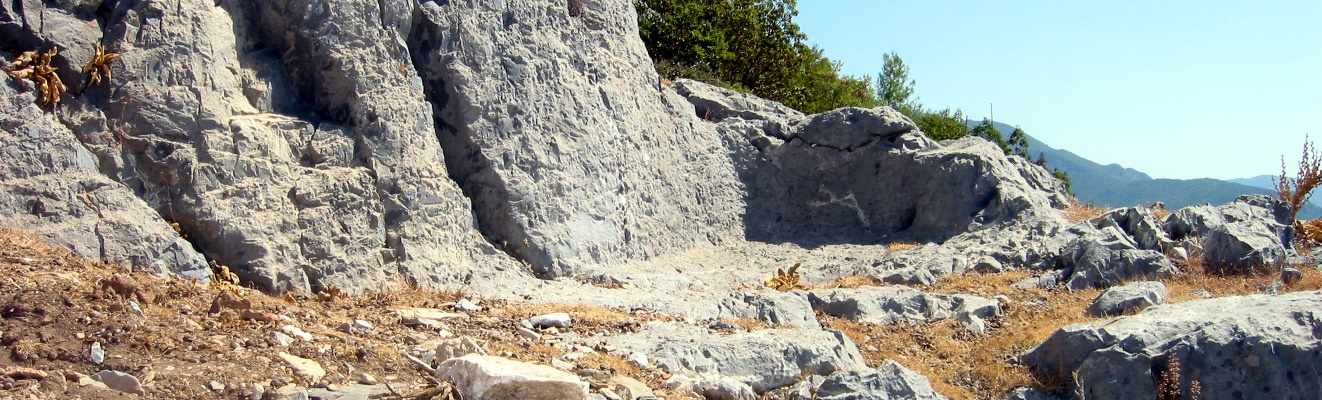
| Topography | .5km ne of Trench D |
| Typology | ruined tomb |
| UTM-X Coord | 439947.0 |
| UTM-Y Coord | 4017390.0 |
| Elevation | 97.0 |
| Latitude | 36.2996285 |
| Longitude | 32.33115461 |
| Has note | This is a preliminary draft release of Roman-Era tombs documented in survey of Cilicia. Additional documentation is forthcoming. |
| Descriptive Attribute | Value(s) |
|---|---|
|
Coverage
Vocabulary: DCMI Metadata Terms (Dublin Core Terms) |
Chronology, Roman
Vocabulary: Library of Congress Subject Headings Open Context References: Chronology, Roman |
|
Creator
Vocabulary: DCMI Metadata Terms (Dublin Core Terms) |
Nicholas K. Rauh
Vocabulary: Rough Cilicia |
|
Spatial Coverage
Vocabulary: DCMI Metadata Terms (Dublin Core Terms) |
|
|
Subject
Vocabulary: DCMI Metadata Terms (Dublin Core Terms) |
|
Suggested Citation
Nicholas K. Rauh. (2012) "Tomb: Meraklar Mah-1 from Asia/Turkey/Meraklar Mah". In Rough Cilicia. Nicholas K. Rauh (Ed). Released: 2012-04-28. Open Context. <https://opencontext.org/subjects/08aa15a8-5640-4361-ad8e-006be1152a09> ARK (Archive): https://n2t.net/ark:/28722/k2sb43652
Editorial Status
●●●○○Part of Project
Copyright License
To the extent to which copyright applies, this content
carries the above license. Follow the link to understand specific permissions
and requirements.
Required Attribution: Citation and reference of URIs (hyperlinks)
